Behind the science:
Mesophotic depth gradients impact reef fish assemblage composition ...
2017, November 20
Posted by Veronica Radice
Fields
Biodiversity
Community structure
Connectivity
Focusgroups
Fishes
Locations
USA - Hawaii
Platforms
Baited Remote Underwater Video (BRUV)
Sonar / Multibeam
SCUBA (open-circuit or unspecified)
“Using BRUVs to understand Hawaiian mesophotic reef fish assemblages”
What was the most challenging aspect of your study (can be anything from field, lab to analysis)?
There were many, in varying degrees of scale. These ranged from hiccups in international, bulk shipping of BRUV cameras and housings between Hawaii and Australia (e.g., cameras misplaced during one shipping cycle, and were eventually tracked down to a wayward facility in British Columbia after missing for 10 days!) to some pretty bumpy days of BRUV sampling. Around the Maui-Nui area, there were some days when you’d see the wind line moving through ~ 1 – 2 PM, knew that there really wasn’t a lee to tuck into, and that the next few hours were going to be a rough-go. If there was a single, standout memory: we had three BRUVS deployed to 100 m, along one of the ridges that runs between Maui and Lanai. The electric windlass failed right as we began our BRUVS haul-back. Everything had to be hand-pulled up from the bottom. These older systems were considerably heavier than the newer tech available today. Not fun.
What was the most memorable moment in undertaking this study?
The day that the paper was published in Frontiers of Marine Science, Coral Reefs. Finish lines can seem so far away from a project’s original inception.
What was your favorite research site in this study and why?
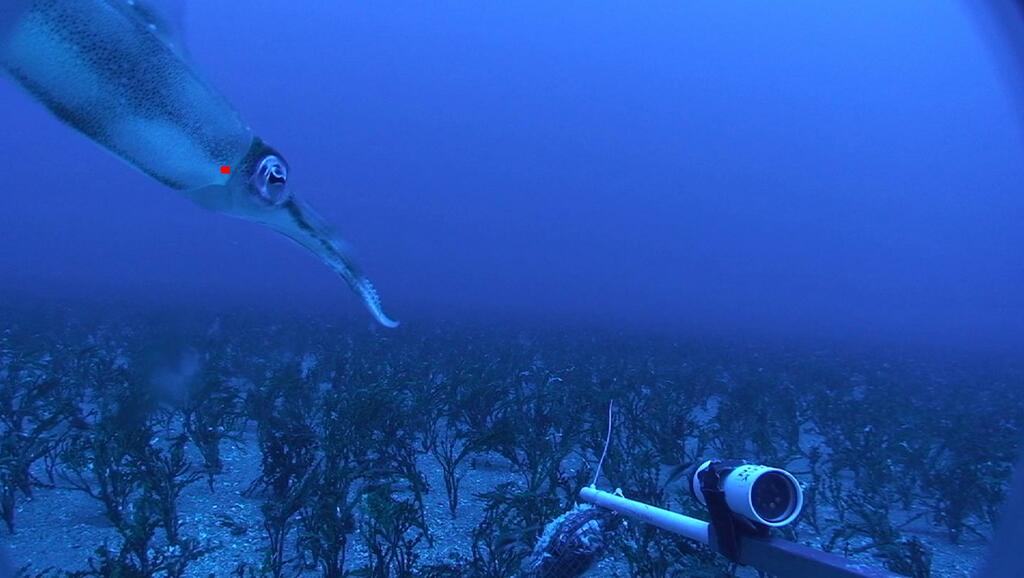
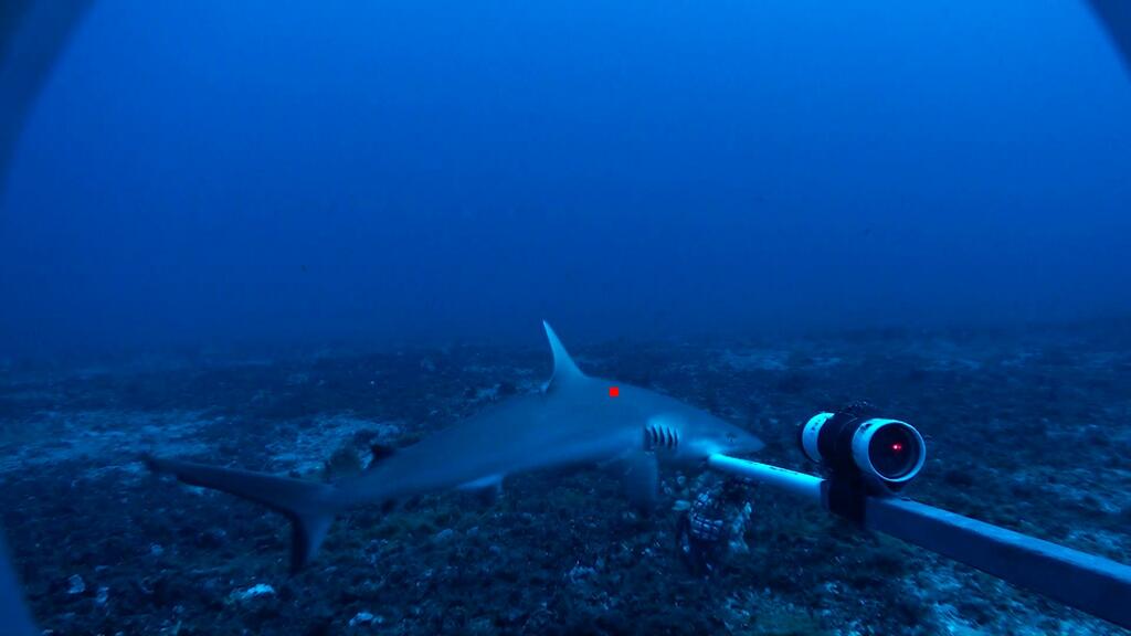
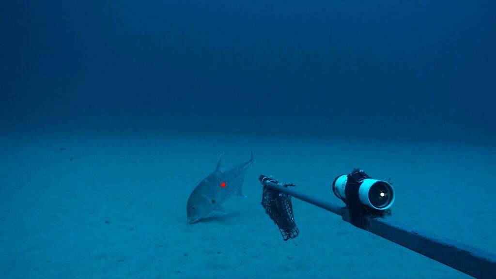
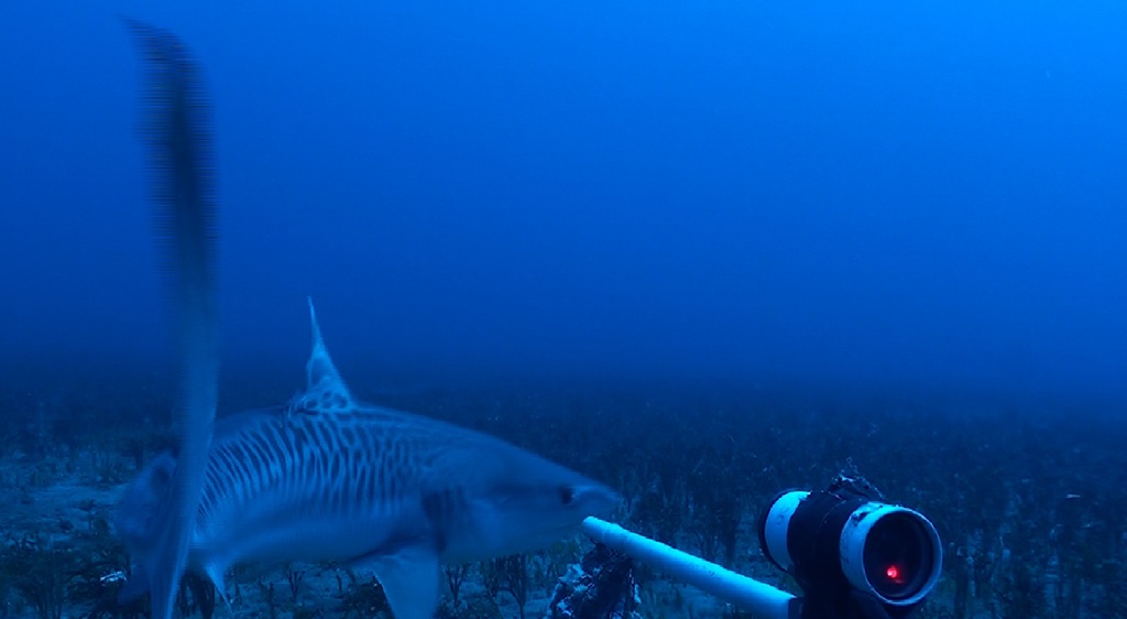
Different answers, depending on whether you’re looking above or below water. Above water? All of the sites around northern Molokai. With its deep valleys, waterfalls, and sea cliffs, the scenery was incredible. Below water? The mesophotic ridges running between Maui and Lanai. We surveyed a handful of sites along one ridge, which were teeming with fishes, were structurally complex, and had a tiger shark cruising through. Any time sharks showed up in the footage was cause for excitement. The juvenile opakapaka (Pristipomoides filamentosus) showing up at a few sites along the Maui-Nui Halimeda beds come a close second.
Other than your co-authors, with whom would you like to share credit for this work?
There are many…numerous interns, scientists, and ship/deck departments. They all played a major role, which would have made this work difficult (nigh on impossible) without their help. However: it was working with Steve Lindfield in 2010 (my first exposure to BRUV surveys) in Guam and the CNMI that opened my eyes what we could do in the Hawaiian Archipelago.
Any important lessons learned (through mistakes, experience or methodological advances)?
Too many to mention here. I first started deploying BRUVS using a hand-cranked Harken windlass. Shoestring budget and youth worked well at first…but now, I’d go with readily available haul-back solutions, along with using more miniaturized, off-the-shelf tech which is readily available. Things changed through the years from lessons learned, ranging from the types of lines and floats you use and ways of dealing with camera station hang-ups, to streamlining/simplifying stratified random surveys to keep from trying to “do too much”.
Can we expect any follow-up on this work?
Yes. We’re currently either processing or analyzing mesophotic BRUV imagery collected around Tutuila, American Samoa (collected in 2012) and Guam (2014), similarly looking at a range of questions that we penned for the Hawaiian Archipelago. We also have several draft manuscripts in varying stages of completion, ranging from BRUV vs. RUV comparisons, to predator counts between different diver-based methods and cameras.
Featured article:
|
|
Mesophotic depth gradients impact reef fish assemblage composition and functional group partitioning in the main Hawaiian Islands | article Asher J, Williams ID, Harvey ES (2017) Front Mar Sci 4:1-18 |

|


